-40%
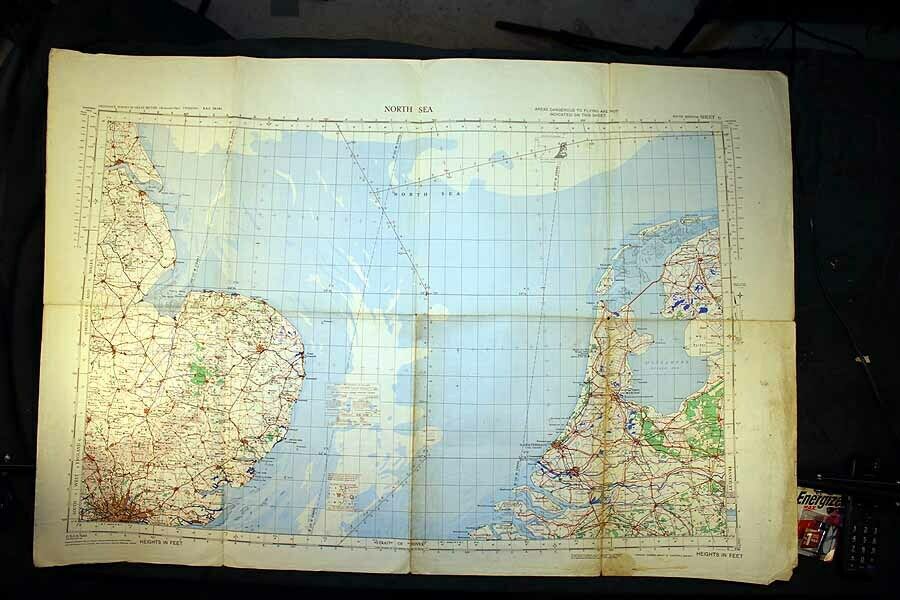
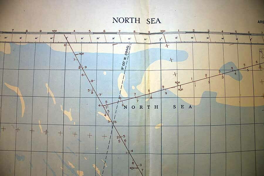
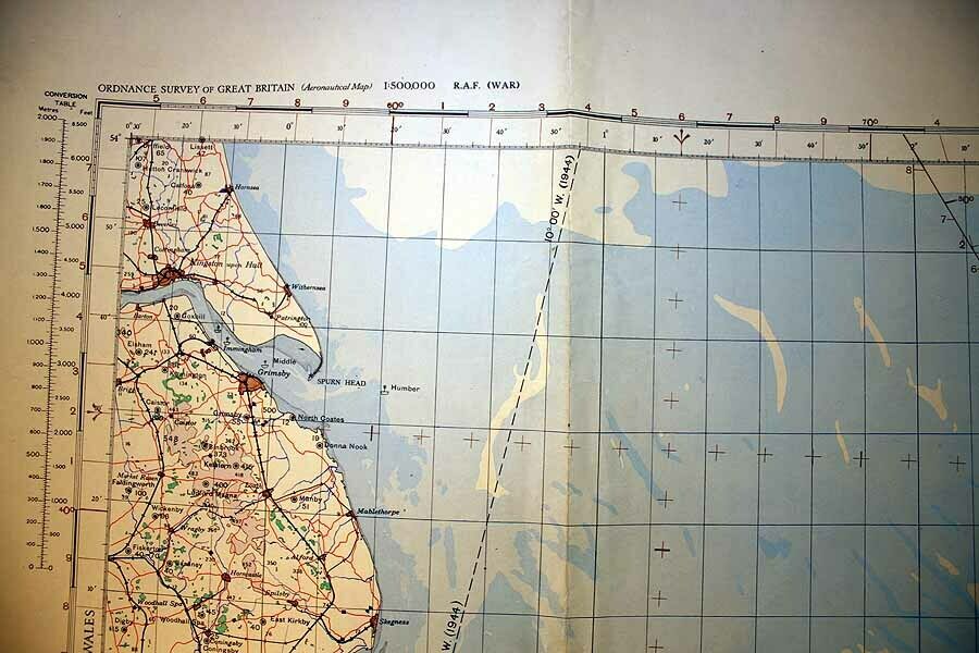
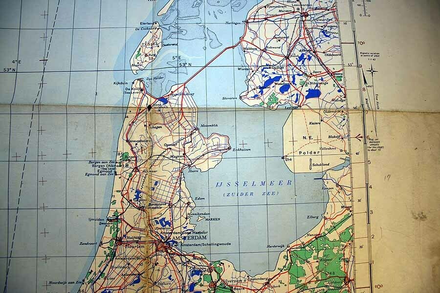
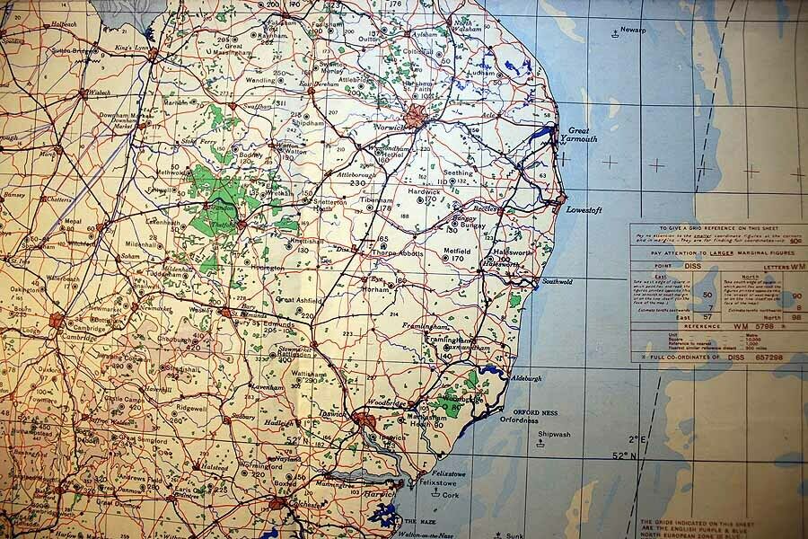
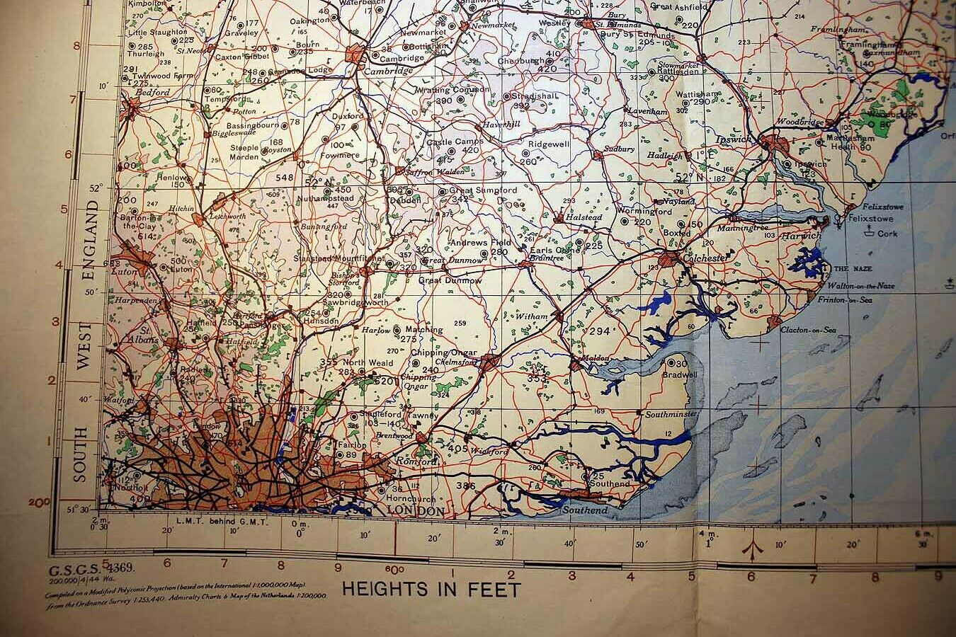
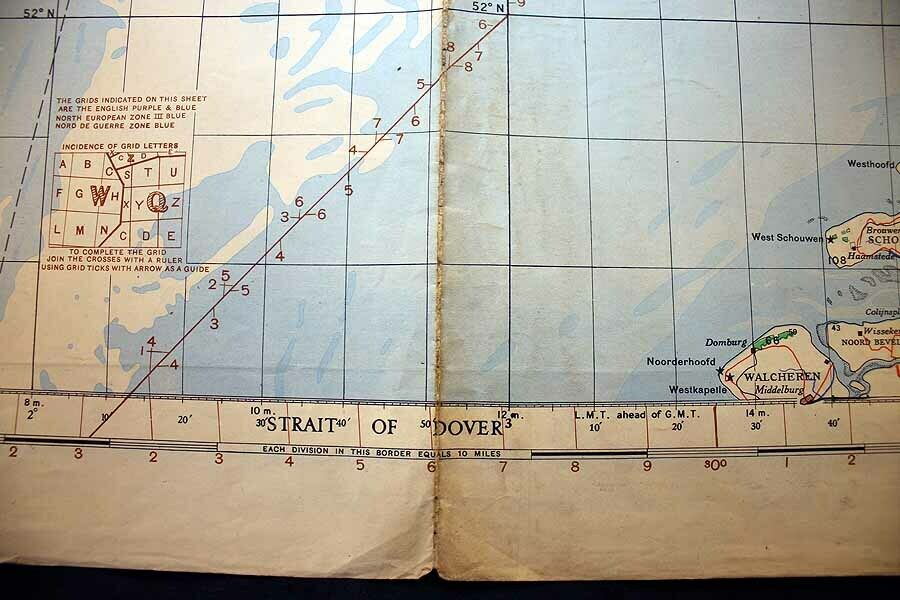
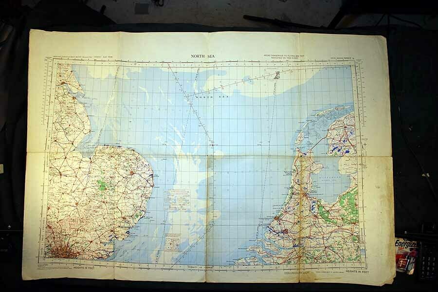
WWII RAF Aeronautical Chart 1944 England War & Navy Strait of. Dover North Sea
$ 15.81
- Description
- Size Guide
Description
This Aeronautical Chart was printed by the War Department of England in 1944. Map was printed for use by the RAF and the Navy.Map measures 28" x 41".
In the event that you purchase multiple items please wait for a combined invoice with shipping discount.
Thank you for stopping by and taking a look. Please visit my eBay store and my other auctions for a variety of antiques and collectibles. I specialize in antique and vintage paper including magazines, books, atlases, and more. I am frequently adding new merchandise.
